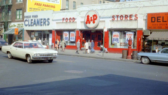
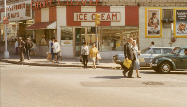
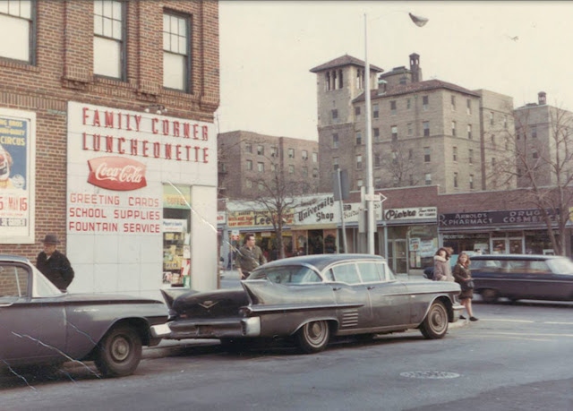
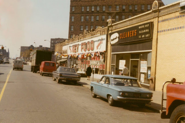
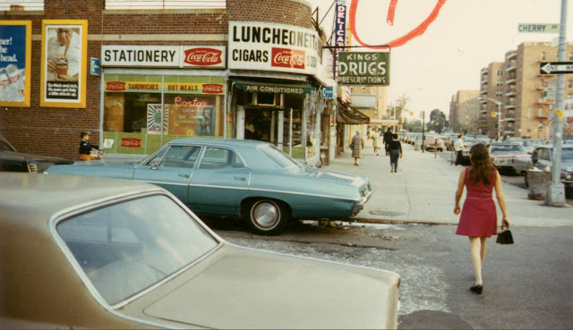
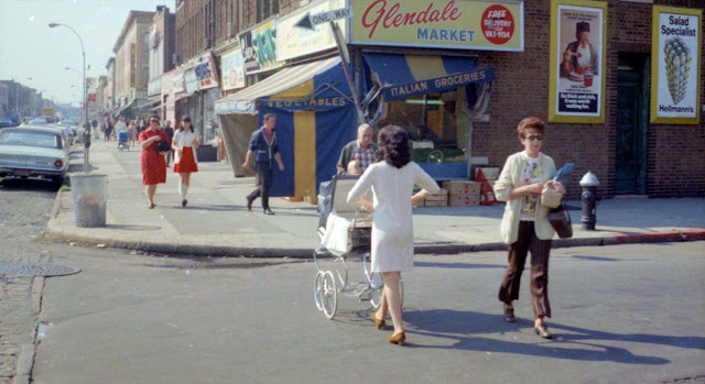
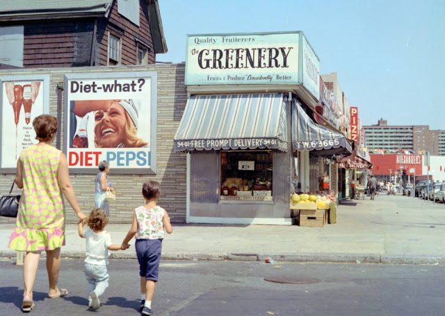
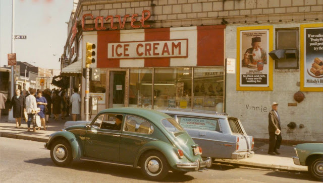
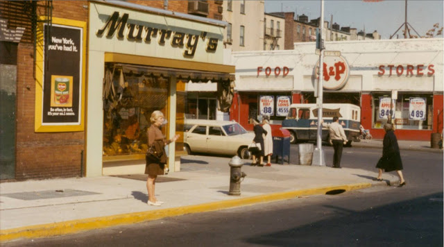
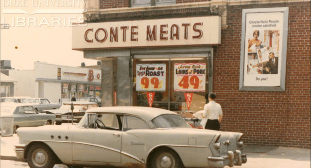
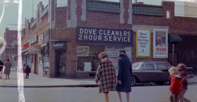
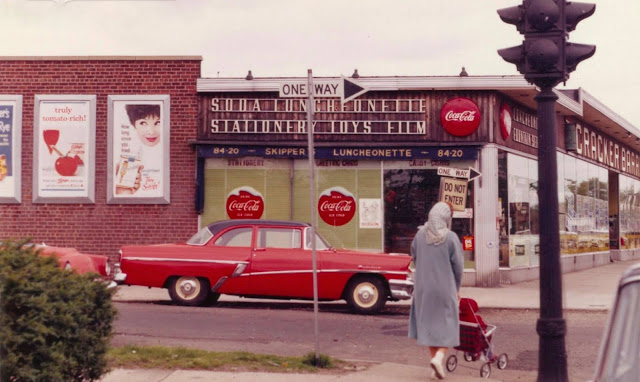
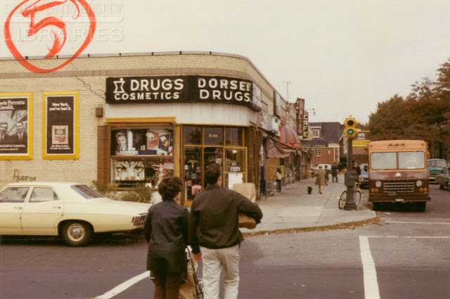
Queens is a borough of New York City, coextensive with Queens County, in the U.S. state of New York. Located on Long Island, it is the largest borough of New York City in area; it is bordered by the borough of Brooklyn at the western tip of Long Island to its west and Nassau County to the east. Queens also shares water borders with the boroughs of Manhattan, the Bronx, and Staten Island (via the Rockaways).
With a population of 2,405,464 as of the 2020 census, Queens is the second most populous county in New York State, second to Kings County (Brooklyn), and is therefore also the second most populous of the five New York City boroughs. Were it a city, Queens would rank as the fourth most-populous in the U.S. Approximately 47 percent of the residents of Queens are foreign-born. Queens is the most linguistically diverse place on Earth and is one of the most ethnically diverse counties in the United States.
Queens was established in 1683 as one of the original 12 counties of the Province of New York. The settlement was presumably named for the English Queen Catherine of Braganza (1638–1705). From 1683 to 1899, the County of Queens included what is now Nassau County. Queens became a borough during the consolidation of New York City in 1898, combining the separate towns of Long Island City, Newtown, Flushing, Jamaica, and western Hempstead. With the exception of Hempstead, all are today considered neighborhoods of Queens.
Queens has the most diversified economy of the five boroughs of New York City. It is home to two of New York City’s airports: John F. Kennedy and LaGuardia. Landmarks in Queens which support its economy include Flushing Meadows–Corona Park; Citi Field, home to the New York Mets baseball team; the USTA Billie Jean King National Tennis Center, site of the U.S. Open tennis tournament; Kaufman Astoria Studios; Silvercup Studios; and the Aqueduct Racetrack. Flushing is undergoing rapid gentrification with investment by Chinese transnational entities, while Long Island City is undergoing gentrification secondary to its proximity across the East River from Manhattan.
The borough has diverse housing, ranging from high-rise apartment buildings in some areas of western and central Queens, such as Ozone Park, Jackson Heights, Flushing, Astoria, and Long Island City, to neighborhoods with many low-rise structures in the eastern part of the borough. (Wikipedia)


Discover more from Yesterday Today
Subscribe to get the latest posts sent to your email.
